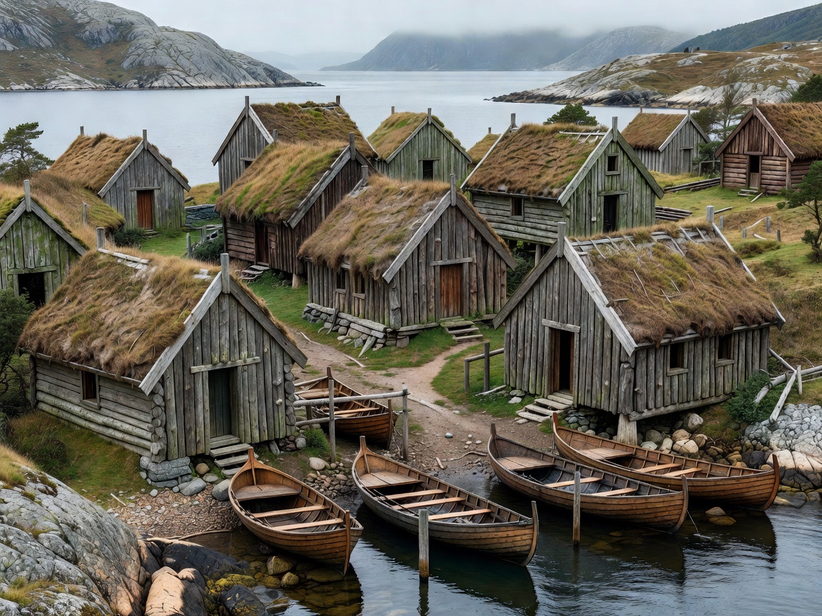
Fishing settlements developed where people could reach the sea, move boats and equipment, and live close to the work. There is no single village plan. Coastline, climate, terrain and local livelihoods create different patterns.
Start with the shoreline
Look first at the shape of the coast. A sheltered inlet, a narrow sound or a protected side of an island can offer calmer water for landing and mooring. A more exposed shoreline may have fewer direct harbor positions and stronger links to roads, beaches or natural launch points. The land behind the water matters too. Steep slopes can compress buildings into a narrow strip. Low ground can allow a broader spread, but may face flooding, drainage or exposure concerns.
These are useful reading clues, not a universal formula. Modern roads, utilities, changing work patterns and coastal protection have also altered village layouts. A settlement seen today contains several periods of use.
Scale and settlement pattern
Some coastal places are compact clusters around a harbor. Others stretch along a road, a fjord edge or a chain of small bays. Buildings can be grouped close to landing places, with homes and storage structures interspersed. In other places, working buildings are concentrated near the water while residences follow higher ground or a main route.
Village scale is best understood through relationships rather than an assumed population threshold. Note the distance between landing points, sheds and homes. Check whether lanes connect directly to the waterfront. See where boats can turn, where equipment is stored and which shore edges appear to remain in active use. Do not enter private yards or working areas to satisfy curiosity.
Regional differences across the north
“Scandinavian” is often used casually for a wider northern coastal region. Norway, Sweden and Denmark have distinct coastlines and building traditions. Norway’s long, deeply indented coast includes fjords, islands and steep terrain. This can produce settlements with close links between water and slope. Sweden includes sheltered archipelagos and long stretches of Baltic coast, where islands, channels and low shores shape access. Denmark’s lower, more exposed coasts and island settings produce a different relationship between settlement, wind and harbor protection.
North Atlantic fishing places, including those in Iceland and the Faroe Islands, share maritime pressures but are not interchangeable with mainland Scandinavian villages. Treat regional labels as starting points. Local materials, fishing methods, transport and weather create important differences.
Harbor geography and coastal landscape
Harbors connect the village to routes beyond it. Their position reflects shelter, depth, access and the coastline’s natural form. A small harbor may sit inside a cove, behind a breakwater or alongside a narrow channel. The surrounding landscape can reveal how residents move between the water, storage buildings and inland routes.
Read the whole edge. Look for working quays, public paths, boat storage and residential fronts. A harbor is not simply a scenic viewpoint. It may be an active workplace with vehicles, ropes, machinery and restricted areas. Stay out of marked or obvious work zones, and keep access clear.
Fishing heritage in a living place
Fishing heritage appears in more than historic facades. It can be visible in boat forms, gear storage, repair spaces, shoreline access and local knowledge. Some settlements still support commercial fishing. Others now rely on a mix of maritime work, services, commuting and seasonal visitors. A building’s original function may have changed, but its position can still explain an older working relationship with the coast.
Change is normal. New uses can help maintain buildings, while poorly planned changes can weaken a settlement’s character or restrict working access. Preservation is strongest when it considers both fabric and function. Respect residents’ privacy and avoid treating working communities as exhibits.
Field notes: what to observe
- Where the coast offers shelter, landing access or a route through.
- How roads, paths and buildings connect to the water.
- Which structures appear to support work, storage or repair.
- How slope, wind exposure and vegetation affect the settlement.
- Where public access ends and private or operational space begins.
Good for
Readers comparing coastal landscapes, architecture students, heritage-minded visitors and anyone who wants to understand why a village sits where it does.
What to know
Access, transport, public paths and working conditions vary by place and season. Verify current restrictions and transport details with relevant official providers before setting out. Do not assume that a waterfront path is public or that a harbor is open for visitor access.
Begin with the landform. Follow the link from coast to harbor, then compare boats, sheds and homes.
Pros and constraints
Useful features
- Close visual links between landscape and buildings.
- Visible evidence of maritime work and adaptation.
- Compact routes that can be read on foot where public access allows.
Practical limits
- Steep terrain and uneven surfaces can limit access.
- Working shorelines may have restricted or changing access.
- Weather and transport options vary widely by region.
Related guides
Next guide / Harbor systems